Vanni E., Cirigliano G. P., Cammisola A., Zocco S. 2025, Revealing the (un-)known in marginal landscapes. Multi-scalar LiDAR applications in the mountainous area of Monti Aurunci (Latium), «Archeologia e Calcolatori», 36.1, 109-128 (https://doi.org/10.19282/ac.36.1.2025.06)
Copy to clipboard Download: BibTeXRevealing the (un-)known in marginal landscapes. Multi-scalar LiDAR applications in the mountainous area of Monti Aurunci (Latium)
Edoardo Vanni, Giuseppe P. Cirigliano, Alessandra Cammisola, Simone Zocco
«Archeologia e Calcolatori» 2025, 36.1, 109-128; doi: 10.19282/ac.36.1.2025.06
Abstract
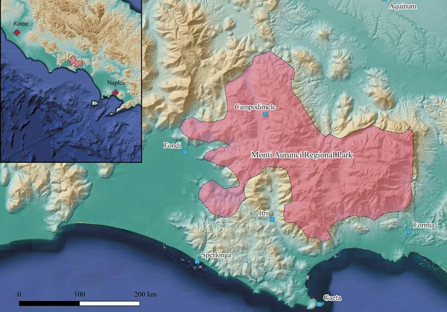
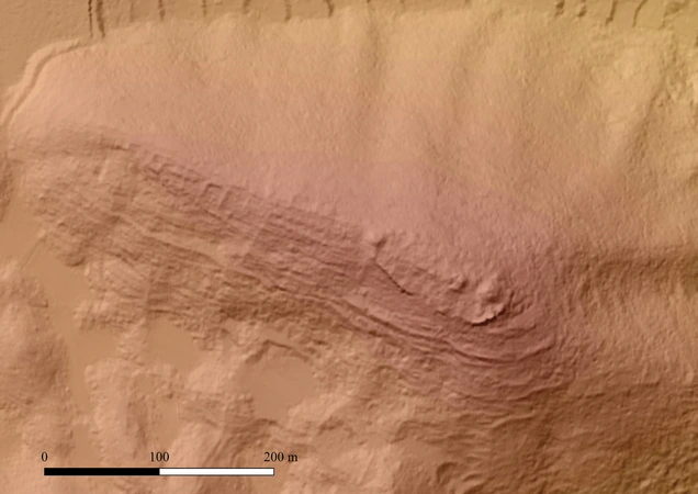
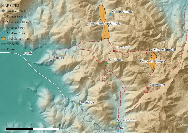
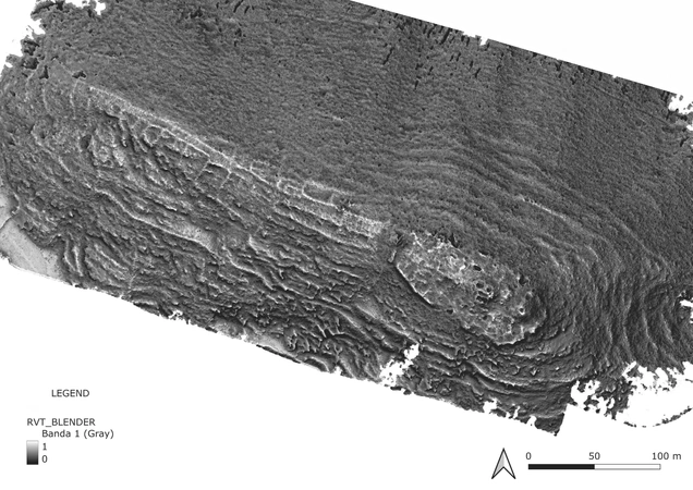
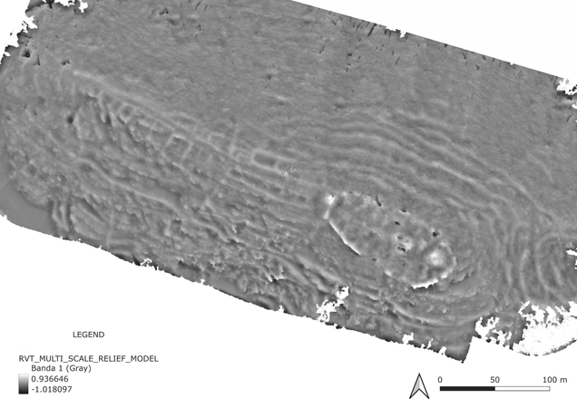
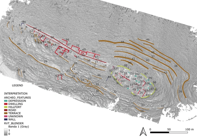
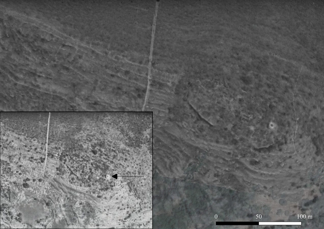
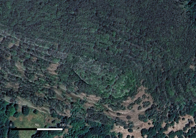
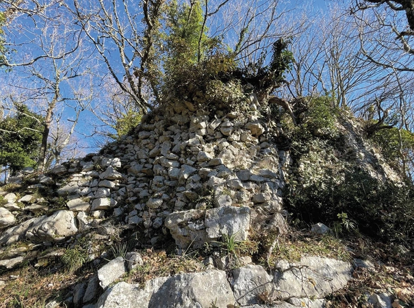
The Monti Aurunci Regional Park, located in southern Lazio, Italy, is renowned for its geological and naturalistic features as well as its archaeological significance. This area hosts a wealth of archaeological sites covering from pre-Roman and Roman periods to the modern era, many of which remain largely unexplored. These sites are currently being investigated as part of the Monti Aurunci Project (MAP, https://www.archeologiadiffusa.org/2022/09/17/ map/), an initiative led by the University for Foreigners of Siena. Among the notable sites in this region is the multi-layered and abandoned hillfort known as ‘Le Mura di Campello’. How- ever, dense forest cover significantly hinders the identification, interpretation, and mapping of archaeological remains in the area. Furthermore, the lack or low quality of existing datasets limits their usability for archaeological purposes. To address these challenges, a drone-based LiDAR survey was conducted in the winter of 2023, yielding high-resolution data that have proven invaluable for archaeological analysis. With an average point density of 142 points per square meter, the LiDAR data facilitated the identification of numerous archaeological features, enriching the understanding of the Monti Aurunci’s cultural heritage. Over 100 pre- viously undocumented features were mapped, including terracing systems, hillforts, dwellings, walls, and road system. The results obtained have refined our understanding of the historical settlement dynamics in the Monti Aurunci area and opened the door to new methodological approaches, offering promising future research directions.
Figures
Preview
Subjects:
Remote Sensing Survey and excavations
Download (PDF)Publishers:
CNR - Istituto di Scienze del Patrimonio Culturale
Edizioni All'Insegna del Giglio
This website uses only technical cookies strictly necessary for its proper functioning. It doesn't perform any profiling and doesn't use third party cookies of any kind.
Read our privacy policy for additional information.
By clicking 'OK' or closing this banner you acknowledge having read this information and accept the website's contents.

