
Volumes / Supplements / 15 / Cirigliano et al.

Indagini geofisiche e LiDAR sul territorio di Roselle

Giuseppe P. Cirigliano, Gabriele Mazzacca, Fabio Remondino, Ken Saito, Stefano Campana

«Archeologia e Calcolatori» 2026, Supplemento 15, 199-215; doi: 10.19282/acs.15.2026.14

Abstract

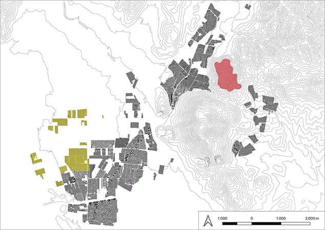
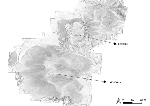
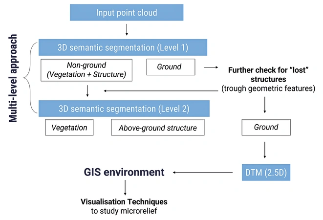
This paper presents an integrated geophysical and UAV-LiDAR investigation of the Rusellae (Roselle) hinterland, carried out within the Emptyscapes framework aimed at moving beyond site-based approaches toward a continuous, landscape-scale reconstruction of settlement and land-use dynamics. While extensive field survey, aerial imagery and large-scale magnetometry are effective in the open agricultural portions of the Ager Rusellanus, densely vegetated hill slopes remain a major source of knowledge bias. To address this gap, we combined (i) new magnetic prospections (ca. 70 ha) in the south-western sector of the study area with (ii) a drone-based high-density LiDAR survey (ca. 550 ha) acquired with a RIEGL miniVUX-3 at low altitude and controlled speed, achieving an average density >700-800 pts/m². Point clouds were processed through a multi-level, multi-resolution semantic segmentation workflow, using a Point Transformer deep-learning architecture to classify ground, vegetation and above-ground structures and to produce high-resolution DTMs and DFMs for GIS-based analysis. Results reveal a markedly more structured landscape in wooded areas than previously documented, including extensive terracing systems, mobility corridors, funerary districts with rock-cut hypogea, and traces of later productive activities. The study highlights both the potential and the limits of high-density UAV-LiDAR and ML-based processing, stressing the need for targeted ground validation in Mediterranean under-canopy contexts.

Figures

Preview

Subjects:

Remote Sensing Survey and excavations

Download (PDF)

Publishers:

CNR - Istituto di Scienze del Patrimonio Culturale

Edizioni All'Insegna del Giglio