
Volumes / Supplements / 15 / Piro

Indagini georadar ad alta risoluzione nell’area archeologica di Rusellae (Grosseto)

Salvatore Piro

«Archeologia e Calcolatori» 2026, Supplemento 15, 217-232; doi: 10.19282/acs.15.2026.15

Abstract

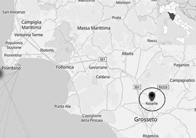
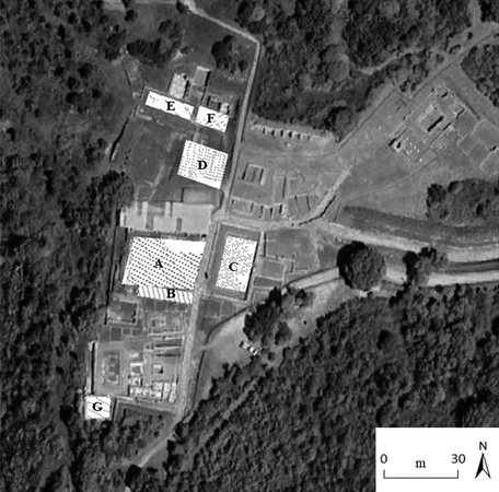
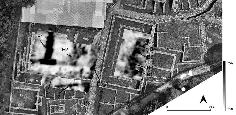
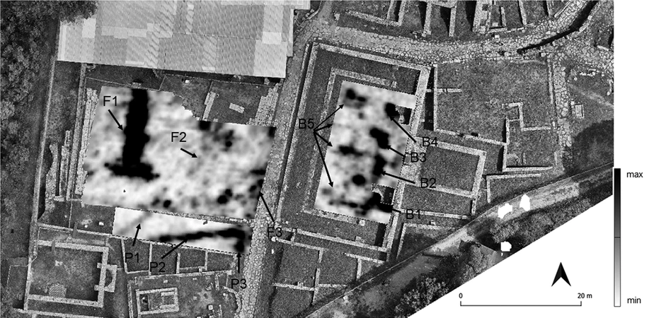
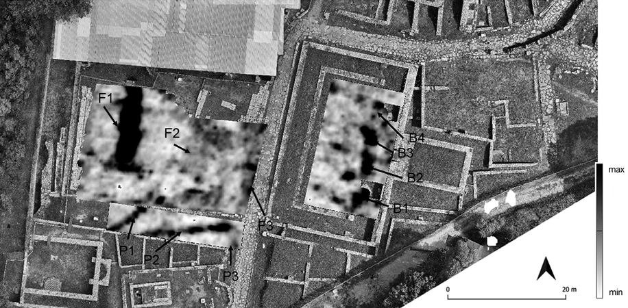
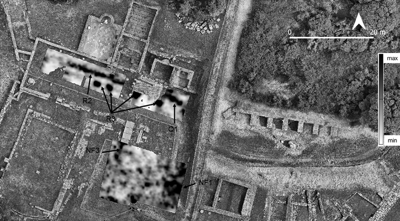
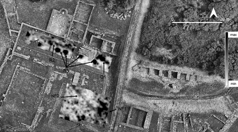
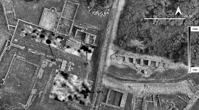
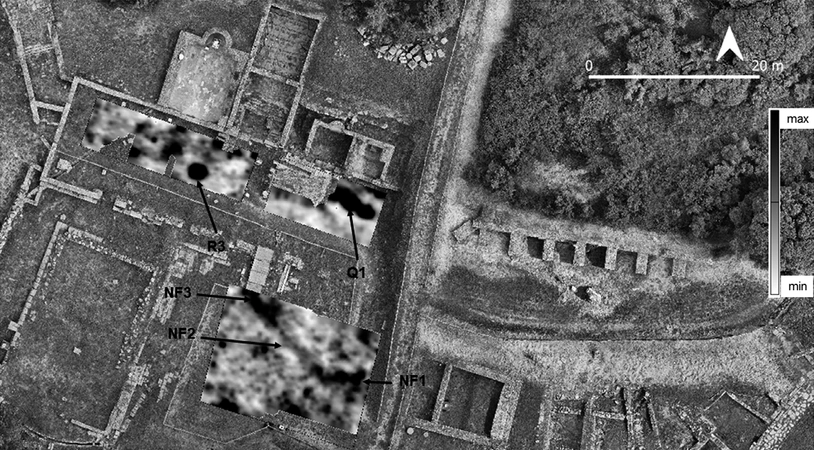
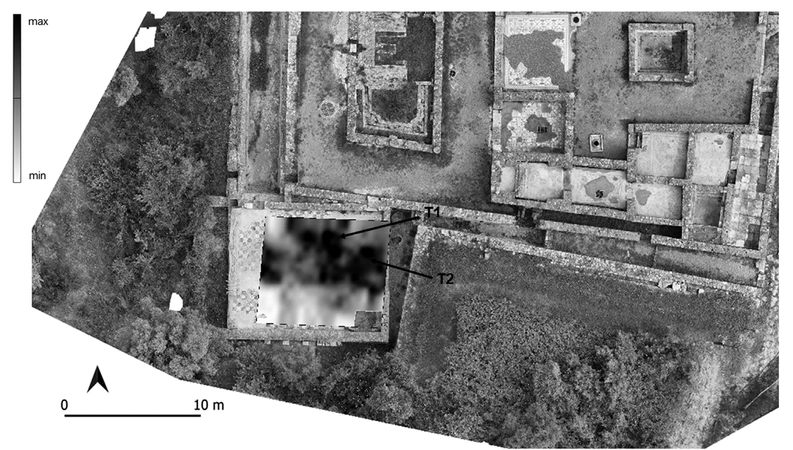
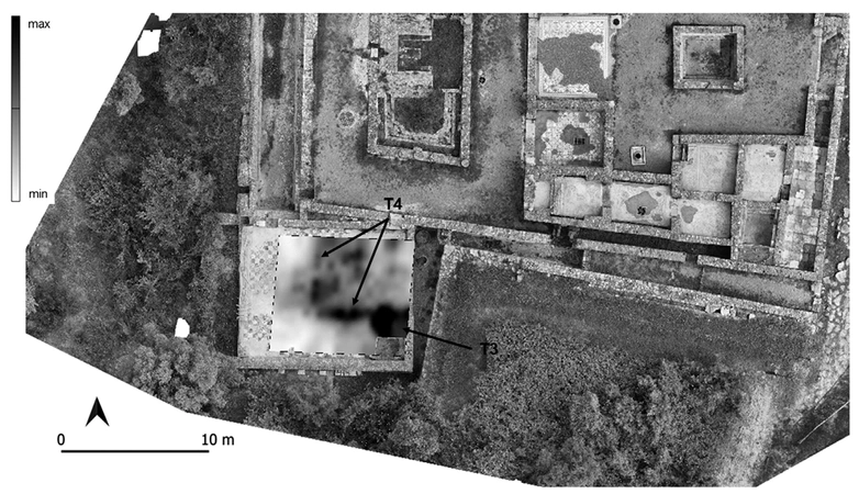
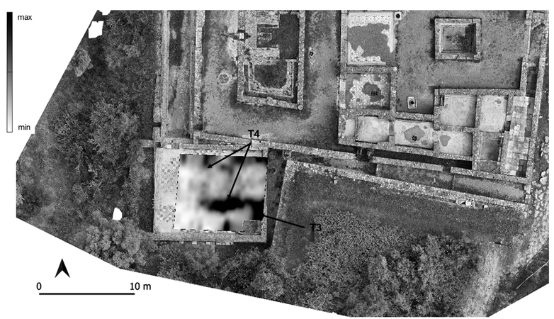
As part of the GreatT ‘Global Research on Environmental and Territorial Transformations’ project, funded by the National Recovery and Resilience Plan (PNRR) Mission 4-Component 2-Investment 1.1 ‘PRIN Projects’, a high-resolution geophysical survey survey, employing the Ground Penetrating Radar (GPR) method, was designed and developed. The purpose of this survey was to characterize the Roselle archaeological site (Grosseto) in terms of the location of archaeological structures present at various depths, in some unexcavated sectors. The areas selected for the geophysical surveys include the southern sector of the Forum, the Basilica giulio-claudia, the northern sector of the Forum, the North Portico, and the Domus ‘dei Mosaici’, and are based on hypotheses about the presence of structures, deduced from the literature. The aims of the geophysical intervention are, on the one hand, to increase knowledge of the archaeological structures still present underground and, on the other, to contribute to protecting and enhancing the physical and cultural integrity of the aforementioned site, within its broader environmental context. The archaeological area was investigated using high-resolution Ground Penetrating Radar (GPR) during the prospecting campaign conducted in July 2025. The objective of the investigations was therefore to verify the existence of archaeological structures still buried, at various depths, in the areas being investigated.

Figures

Preview

Subjects:

Remote Sensing Survey and excavations

Download (PDF)

Publishers:

CNR - Istituto di Scienze del Patrimonio Culturale

Edizioni All'Insegna del Giglio