
Cirigliano G. P., Mazzacca G., Remondino F., Campana S. 2026, Acquisizione ed elaborazione dei dati LiDAR a Castelporziano, in S. Campana, G. Cantoro, P. Liverani, G. F. Pocobelli (eds.), Indagini non invasive multidisciplinari per la conoscenza della topografia antica di centri urbani e del territorio, «Archeologia e Calcolatori», Supplemento 15, 37-53 (https://doi.org/10.19282/acs.15.2026.04)
Copy to clipboard Download: BibTeXVolumes / Supplements / 15 / Cirigliano et al.
Acquisizione ed elaborazione dei dati LiDAR a Castelporziano
Giuseppe P. Cirigliano, Gabriele Mazzacca, Fabio Remondino, Stefano Campana
«Archeologia e Calcolatori» 2026, Supplemento 15, 37-53; doi: 10.19282/acs.15.2026.04
Abstract
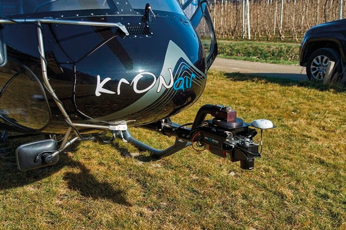
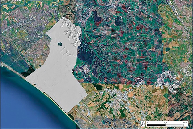
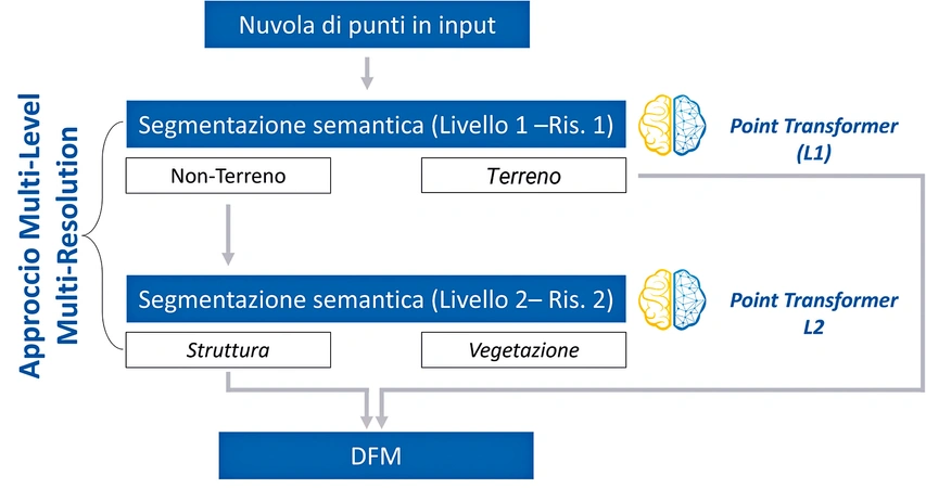
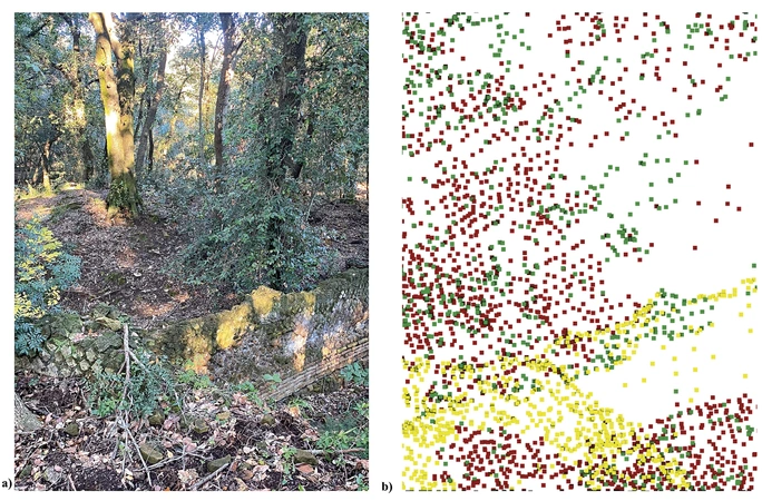
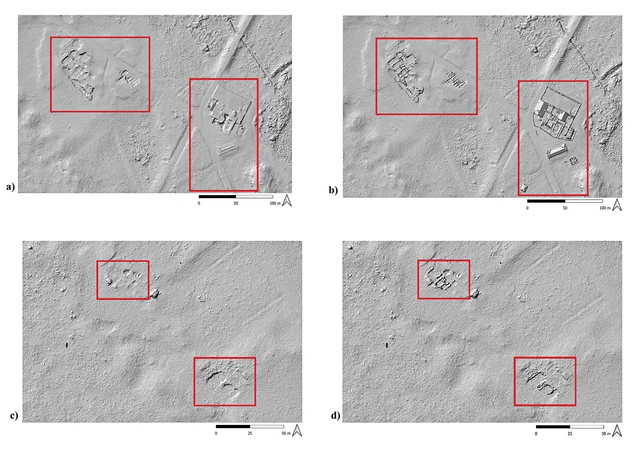
This paper reports preliminary outcomes of the 'Hidden Landscapes of Latium project', applied to the Presidential Estate of Castelporziano, an exceptionally well‑preserved coastal landscape in the central Mediterranean and, concurrently, a highly challenging forested context for landscape archaeology. The study area, about 60 km², characterized by dense and continuous vegetation cover, was surveyed by airborne LiDAR acquisition at very high point density (in average 350 pts/m²), with the goal to facilitate under‑canopy archaeological detection in a highly challenging Mediterranean environments. We provide a critical appraisal of the acquisition strategy, with particular attention to sampling density and flight design as determinative factors for the detection of subtle anthropogenic micro‑topographies. The acquired dataset was subjected to a semantic‑segmentation processing pipeline that integrates multi‑level and multi‑resolution machine‑learning techniques for the automated classification of ground, vegetation, and structural elements. Results indicate that the combination of archaeologist-addressed, high‑resolution LiDAR acquisition and advanced semantic classification substantially enhance the interpretability of forested archaeological landscapes and enables the identification of features previously obscured by vegetation. Castelporziano thus constitutes a valuable testbed for evaluating the applicability, transferability, and limitations of LiDAR‑based methodologies within Mediterranean landscape archaeology.
Figures
Preview
Subjects:
Remote Sensing Survey and excavations
Download (PDF)Publishers:
CNR - Istituto di Scienze del Patrimonio Culturale
Edizioni All'Insegna del Giglio
This website uses only technical cookies strictly necessary for its proper functioning. It doesn't perform any profiling and doesn't use third party cookies of any kind.
Read our privacy policy for additional information.
By clicking 'OK' or closing this banner you acknowledge having read this information and accept the website's contents.