Thiery 2023, fig. 1
Florian Thiery, Peter Thiery, OpenStreetMap Contributors
Related article: Thiery F., Thiery P. 2023, Linked Open Ogham. How to publish and interlink various Ogham Data?, in J. Bogdani, S. Costa (eds.), ArcheoFOSS 2022. Proceedings of the 16th International Conference on Open Software, Hardware, Processes, Data and Formats in Archaeological Research (Rome, 22-23 September 2022), «Archeologia e Calcolatori», 34.1, 105-114 (https://doi.org/10.19282/ac.34.1.2023.12)
Caption
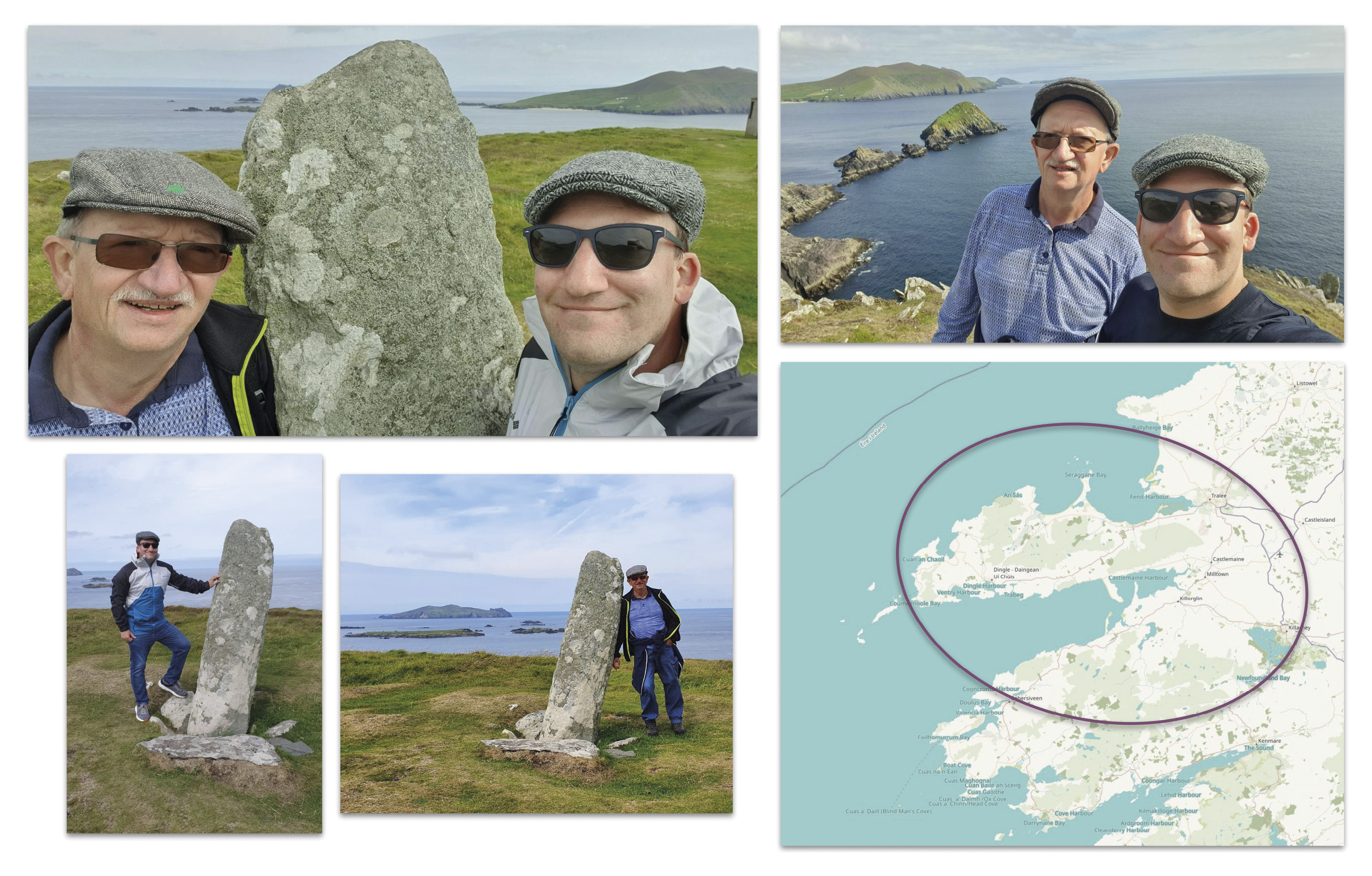
Ogham Stone at Dunmore Head (Irish: An Dún Mór), the westernmost point on the mainland of the island of Ireland (ph. F. Thiery); bottom right: OSM map of Ireland with the encircled Dingle Peninsula (Irish: Corca Dhuibhne) and the NE of the Iveragh Peninsula (Irish: Uíbh Ráthach), ODbL by OpenStreetMap contributors
Source
Map: https://www.openstreetmap.org; Copyright: https://www.openstreetmap.org/copyright
Image preview
This website uses only technical cookies strictly necessary for its proper functioning. It doesn't perform any profiling and doesn't use third party cookies of any kind.
Read our privacy policy for additional information.
By clicking 'OK' or closing this banner you acknowledge having read this information and accept the website's contents.