Bogdani 2022, fig. 3
Related article: Bogdani J. 2022, Archaeological documentation as a service. Archaeological Information Systems in the cloud era: the BraDypUS case-study, «Archeologia e Calcolatori», 33.2, 115-134 (https://doi.org/10.19282/ac.33.2.2022.07)
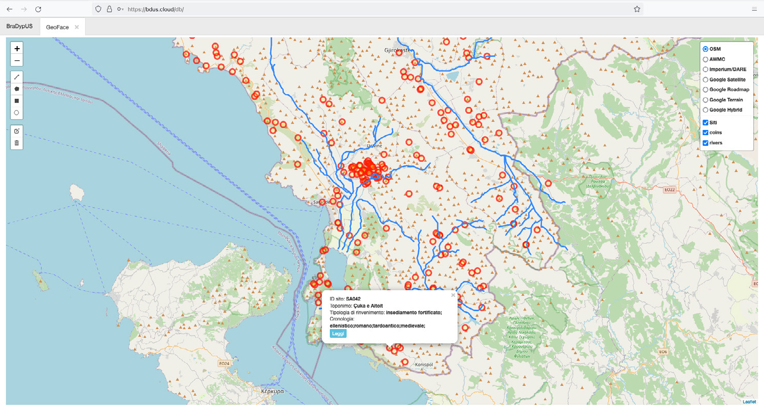
Caption
GeoFace, BraDypUS geographical interface showing point-features representing database records (archaeological sites) overlayed with GeoJSON encoded vectors representing historical hydrography and different options of out-of-the-box XYZ base maps (SITARC database).
Image preview
This website uses only technical cookies strictly necessary for its proper functioning. It doesn't perform any profiling and doesn't use third party cookies of any kind.
Read our privacy policy for additional information.
By clicking 'OK' or closing this banner you acknowledge having read this information and accept the website's contents.