Vitale, MacDonough 2024, fig. 3
Related article: Vitale V., McDonough K. 2024, Labels and symbols: using text on maps to investigate the antiquities on the ordnance survey maps of Great Britain, in R. Brancato, J. Bogdani, V. Vitale (eds.), Linking Pasts and Sharing Knowledge. Mapping Archaeological Heritage, Legacy Data Integration and Web Technologies for Modelling Historical Landscapes (Naples, 13th-14th November 2023), «Archeologia e Calcolatori», 35.2, 355-362 (https://doi.org/10.19282/ac.35.2.2024.37)
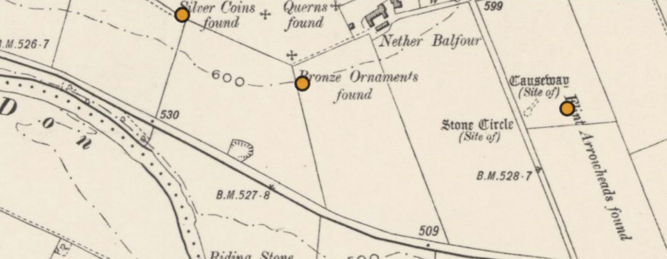
Caption
Example of the representation of archaeological events on early OS maps, 1:6000 (from GB1900 portal)
Source
GB1900. National Library of Scotland. https://maps.nls.uk/projects/gb1900
Image preview
This website uses only technical cookies strictly necessary for its proper functioning. It doesn't perform any profiling and doesn't use third party cookies of any kind.
Read our privacy policy for additional information.
By clicking 'OK' or closing this banner you acknowledge having read this information and accept the website's contents.