Vitale V., McDonough K. 2024, Labels and symbols: using text on maps to investigate the antiquities on the ordnance survey maps of Great Britain, in R. Brancato, J. Bogdani, V. Vitale (eds.), Linking Pasts and Sharing Knowledge. Mapping Archaeological Heritage, Legacy Data Integration and Web Technologies for Modelling Historical Landscapes (Naples, 13th-14th November 2023), «Archeologia e Calcolatori», 35.2, 355-362 (https://doi.org/10.19282/ac.35.2.2024.37)
Copy to clipboard Download: BibTeXLabels and symbols: using text on maps to investigate the antiquities on the ordnance survey maps of Great Britain
Valeria Vitale, Katherine McDonough
«Archeologia e Calcolatori» 2024, 35.2, 355-362; doi: 10.19282/ac.35.2.2024.37
Abstract
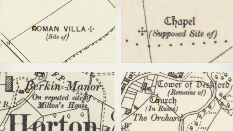
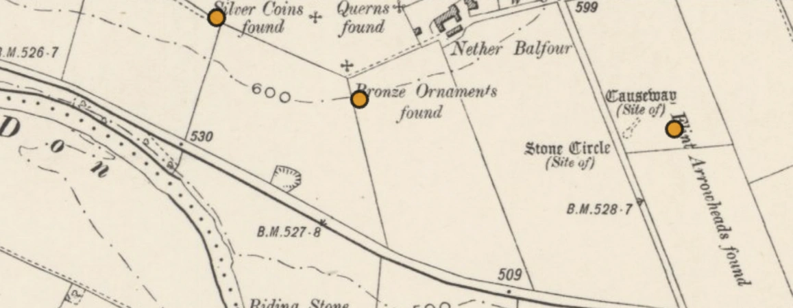
This paper discusses the application of a machine learning pipeline to automatically digitise text on historical maps and make it searchable, as explored by the ‘Machines Reading Maps’ project. Looking at the Ordnance Survey Maps of Great Britain as a case study, we will suggest ways in which this new kind of open datasets, of both a textual and spatial nature, offers the unprecedented opportunity to study maps at scale, analysing map collections as digital corpora. These new approaches facilitate the use of map as historical sources in humanities research, and their investigation as complex cultural objects that combine heterogeneous knowledge. In particular, we will focus on the uncommonly detailed representation of ancient sites on the Ordnance Survey maps, and how a further layer of information around them is delivered not by the words’ literal meaning but by their appearance. We will propose ways in which this peculiarity could be digitally leveraged to retrace, investigate, and perhaps re-interpret the archaeological information on the Ordnance Survey maps. We will conclude by reflecting on the need for new, more sophisticated workflows that take into account the richness of information delivered by visual clues in words printed on maps.
Figures
Preview
Subjects:
GIS and cartography Theoretical and methodological problems
Download (PDF)Publishers:
CNR - Istituto di Scienze del Patrimonio Culturale
Edizioni All'Insegna del Giglio
This website uses only technical cookies strictly necessary for its proper functioning. It doesn't perform any profiling and doesn't use third party cookies of any kind.
Read our privacy policy for additional information.
By clicking 'OK' or closing this banner you acknowledge having read this information and accept the website's contents.


