
Volumes / Journal / 37.1 / Montagnetti et al.

Oltre lo scavo: metodi di archeologia non invasiva per la ricostruzione dell’evoluzione insediativa del sito di Poggio Gramignano (TR)

Roberto Montagnetti, Matteo Serpetti, Andrea Di Miceli, Roberta Zambrini

«Archeologia e Calcolatori» 2026, 37.1, 29-50; doi: 10.19282/ac.37.1.2026.02

Abstract

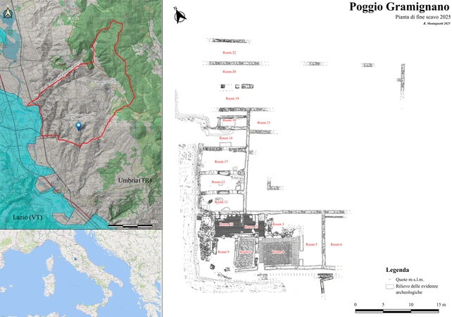
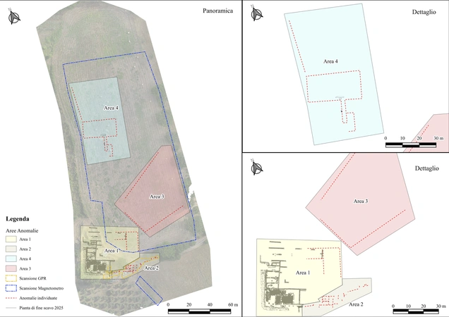
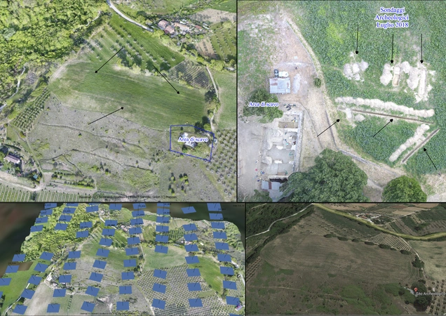
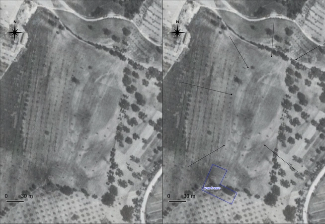
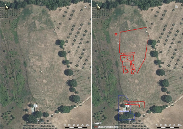
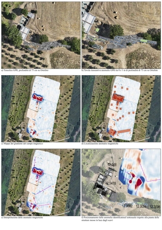
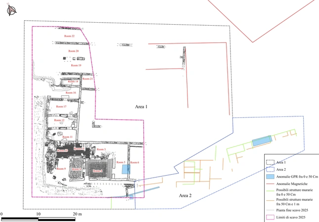
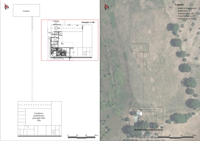
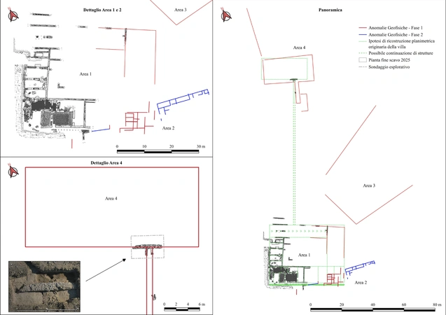
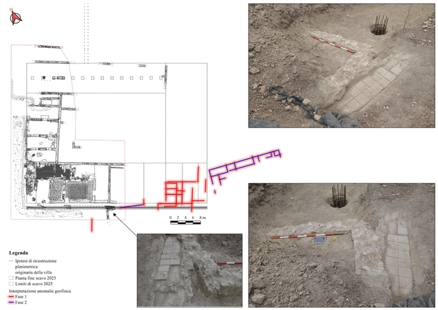
The archaeological site of Poggio Gramignano (Lugnano in Teverina, TR) represents a complex, multi-period settlement sequence, spanning from the Orientalizing-Archaic period to Late Antiquity and the Early Middle Ages. This paper presents the results of an integrated research strategy combining non-invasive methodologies, namely aerial remote sensing, analysis of historical aerial photographs and satellite imagery, magnetometric survey, and 3D ground-penetrating radar (GPR), with targeted stratigraphic excavation data. The application of these techniques has significantly enhanced the understanding of the site’s spatial organization, architectural development, and diachronic transformation beyond the limits of the excavated areas. Remote sensing and geophysical surveys have revealed a previously unknown extent of the Roman villa complex, including peripheral structures, retaining walls (basis villae), and a large summit cistern connected to a hydraulic distribution system. Photointerpretation has also identified features attributable to a pre-Roman settlement, possibly enclosed by a ditch, corroborating evidence recovered during recent excavations. The integration of geophysical data with stratigraphic observations has allowed the recognition of multiple construction phases characterized by different orientations, suggesting significant architectural reorganization over time. Particular attention is devoted to the Late Antique phase, during which parts of the Augustan villa fell into disuse and were partially reused, including the establishment of an infant cemetery within abandoned rooms. Overall, the study demonstrates the critical role of non-invasive approaches in reconstructing complex archaeological landscapes and refining historical interpretations at multi-layered sites.

Figures

Preview

Subjects:

Remote Sensing Survey and excavations

Download (PDF)

Publishers:

CNR - Istituto di Scienze del Patrimonio Culturale

Edizioni All'Insegna del Giglio