Rosignoli O., Fregonese L., Angrisani G., Cera V., Scandurra S., D’Auria D., Bosco A. 2025, BIM and GIS integration: planning a digital approach to archaeological site management, «Archeologia e Calcolatori», 36.1, 171-190 (https://doi.org/10.19282/ac.36.1.2025.09)
Copy to clipboard Download: BibTeXBIM and GIS integration: planning a digital approach to archaeological site management
Olga Rosignoli, Luigi Fregonese, Giovanni Angrisani, Valeria Cera, Simona Scandurra, Dora D’Auria, Angela Bosco
«Archeologia e Calcolatori» 2025, 36.1, 171-190; doi: 10.19282/ac.36.1.2025.09
Abstract
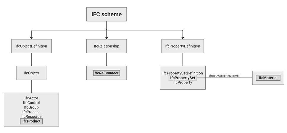
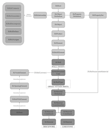
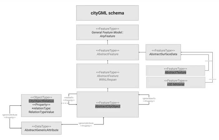
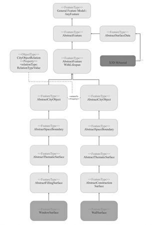
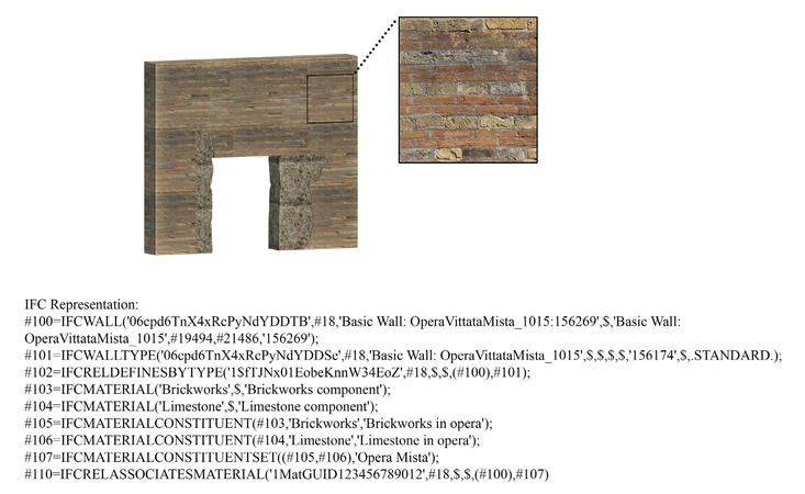
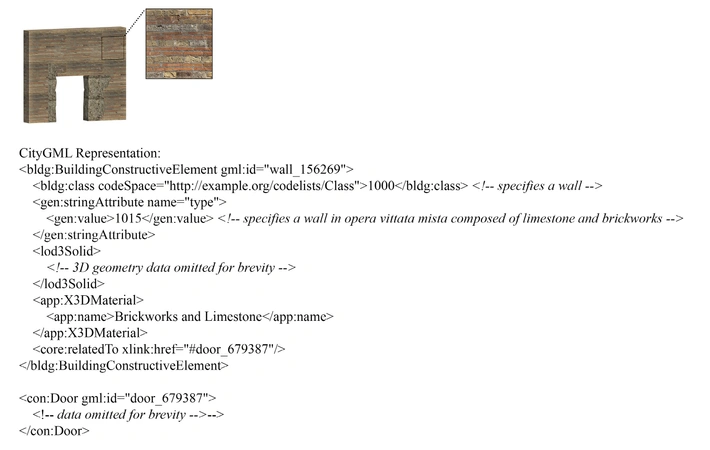
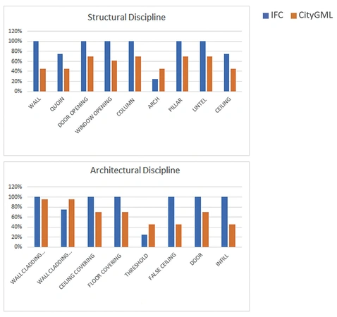
The Pompeii Archaeological Park is an exceptional example of archaeology where architectural features have been almost totally preserved, in the context of an archaeological excavation. Because of this unique site, a digital management tool constructed upon the planned conservation needs, requires both the features of a BIM (Building Information Modelling) and a GIS (Geographic Information System). This article presents the first steps taken towards the design of such system, where the latest research in the integration of the two technological domains takes into consideration the requirements from the archeologists that will use the system. In particular, semantic mappings between entity classes are explained: the data schemas compared are the open format standards for BIM and GIS, namely IFC and CityGML, against a dedicated taxonomy created specifically for this research on the features of Vesuvian architecture.
Figures
Preview
Subjects:
Virtual Reality and 3D Modelling Survey and excavations
Download (PDF)Publishers:
CNR - Istituto di Scienze del Patrimonio Culturale
Edizioni All'Insegna del Giglio
This website uses only technical cookies strictly necessary for its proper functioning. It doesn't perform any profiling and doesn't use third party cookies of any kind.
Read our privacy policy for additional information.
By clicking 'OK' or closing this banner you acknowledge having read this information and accept the website's contents.


