Bogdani J., D’Erasmo D. 2023, Backward engineering historical maps: the update of the open hydrography dataset of Napoleonic cartography, in J. Bogdani, S. Costa (eds.), ArcheoFOSS 2022. Proceedings of the 16th International Conference on Open Software, Hardware, Processes, Data and Formats in Archaeological Research (Rome, 22-23 September 2022), «Archeologia e Calcolatori», 34.1, 201-210 (https://doi.org/10.19282/ac.34.1.2023.22)
Copy to clipboard Download: BibTeXBackward engineering historical maps: the update of the open hydrography dataset of Napoleonic cartography
Julian Bogdani, Domizia D’Erasmo
«Archeologia e Calcolatori» 2023, 34.1, 201-210; doi: 10.19282/ac.34.1.2023.22
Abstract
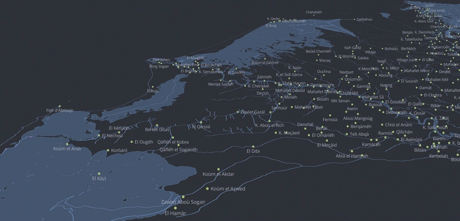
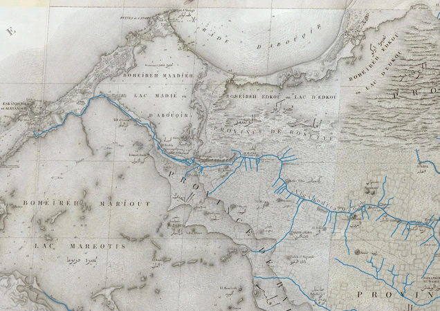
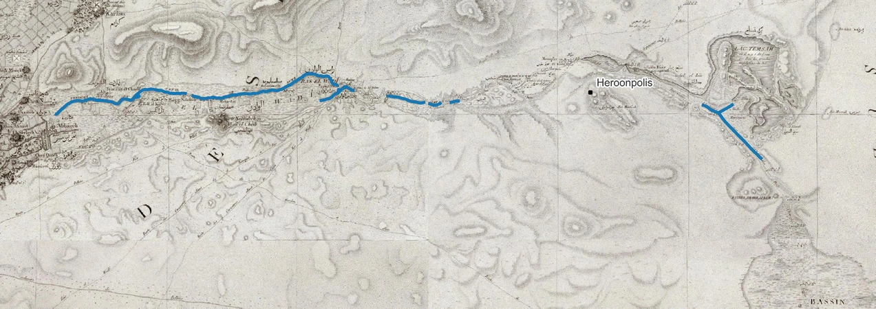
Since 2019, the LAD team has been working on the digitisation of the Carte topographique de l’Égypte through a GIS platform. The data contained in this historical cartography, published in the early years 1800s, play a key role in research on the ancient Egyptian landscape, yet they show a still image from the late 1700s. Taking a step towards a Linked Open Data (LOD), this paper illustrates the work of updating the already published dataset of the hydrography of Napoleonic cartography by the LAD team, to which new information useful for the study of the Ancient Egyptian landscape will also be added.
Figures
Preview
Subjects:
GIS and cartography Cultural Resource Management
Download (PDF)Publishers:
CNR - Istituto di Scienze del Patrimonio Culturale
Edizioni All'Insegna del Giglio
This website uses only technical cookies strictly necessary for its proper functioning. It doesn't perform any profiling and doesn't use third party cookies of any kind.
Read our privacy policy for additional information.
By clicking 'OK' or closing this banner you acknowledge having read this information and accept the website's contents.


