Rosati P. 2023, “ArchaeoloGIS” a QGIS plugin for archaeological spatial analysis, in J. Bogdani, S. Costa (eds.), ArcheoFOSS 2022. Proceedings of the 16th International Conference on Open Software, Hardware, Processes, Data and Formats in Archaeological Research (Rome, 22-23 September 2022), «Archeologia e Calcolatori», 34.1, 193-200 (https://doi.org/10.19282/ac.34.1.2023.21)
Copy to clipboard Download: BibTeX“ArchaeoloGIS” a QGIS plugin for archaeological spatial analysis
«Archeologia e Calcolatori» 2023, 34.1, 193-200; doi: 10.19282/ac.34.1.2023.21
Abstract
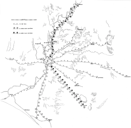
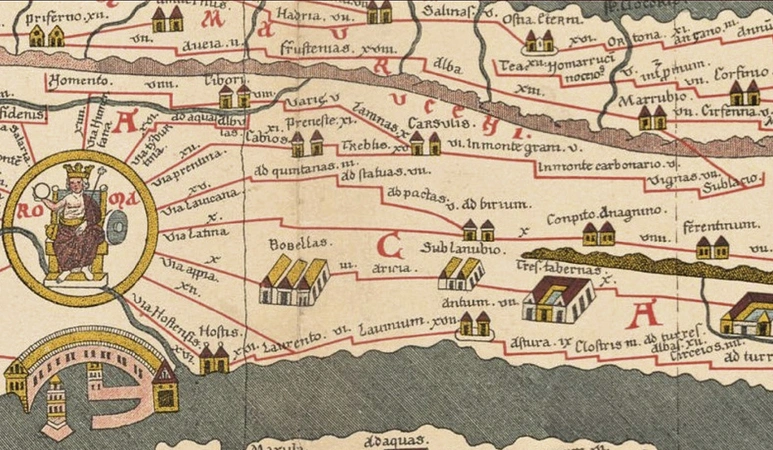
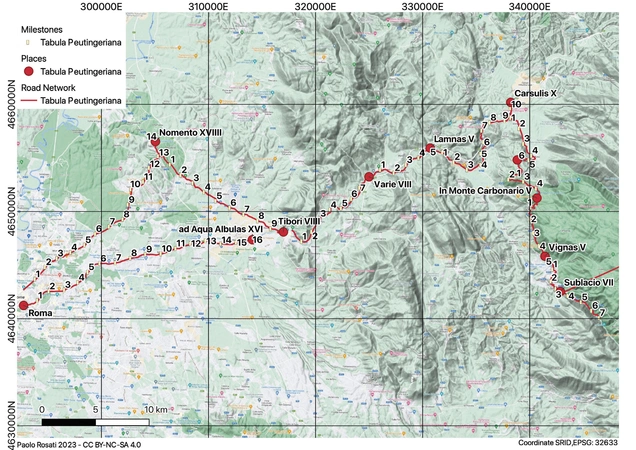
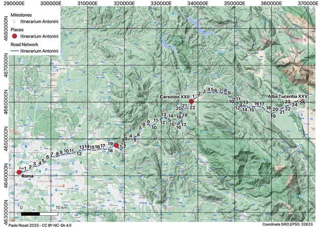
The purpose of the paper is to introduce a QGIS plugin named ArcheoloGIS. It is developed in PYQGIS and tested by the community of Una Quantum Inc. (Italy). It consists of a decorator algorithm named Tabula Peutingeriana, that outputs points at a regular distance, every one Roman mile, along a given path. The article shows its use, the construction of a possible dataset and its evolution, as well as a case study of its application.
Figures
Preview
Subjects:
GIS and cartography Cultural Resource Management
Download (PDF)Supplementary resources:
Publishers:
CNR - Istituto di Scienze del Patrimonio Culturale
Edizioni All'Insegna del Giglio
This website uses only technical cookies strictly necessary for its proper functioning. It doesn't perform any profiling and doesn't use third party cookies of any kind.
Read our privacy policy for additional information.
By clicking 'OK' or closing this banner you acknowledge having read this information and accept the website's contents.

