
Volumes / Supplements / 15 / Brancato

Verso la topografia archeologica di Atella (Campania): dal GIS al digital twin

Rodolfo Brancato

«Archeologia e Calcolatori» 2026, Supplemento 15, 363-380; doi: 10.19282/acs.15.2026.22

Abstract

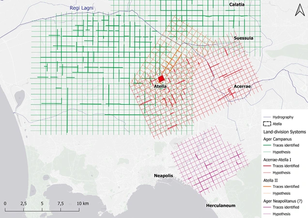
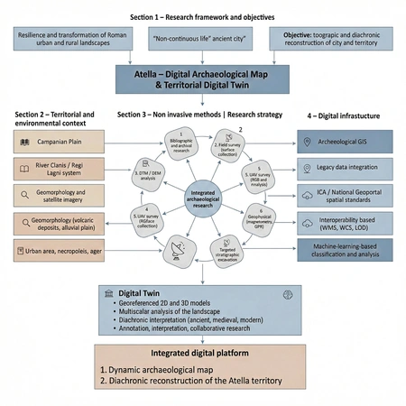
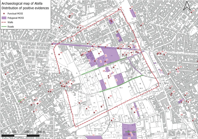
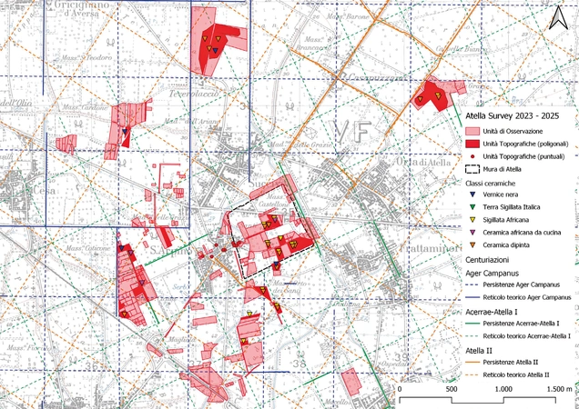
This paper presents the ongoing Atella (Campania) project. Located between Capua and Neapolis in the central Campanian Plain, the Roman site still lacks a consolidated archaeological topography. To address this gap, the research integrates legacy data with targeted non-invasive investigations. Bibliographic and archival work is combined with multi-source remote sensing (historical aerial photographs, satellite imagery, and high-resolution DEMs), intensive field survey, UAV-based SfM photogrammetry, and geophysical prospection (magnetometry and GPR), followed by planned stratigraphic testing. The main output is a GIS conceived as the backbone of a landscape-scale digital twin: not a mere ‘digital replica’, but a dynamic knowledge system that links georeferenced 2D/3D datasets, structured metadata, and explicit semantic relationships to support analysis, annotation, and collaborative interpretation. Preliminary results indicate a substantial increase in recorded contexts (from 44 to 232) and provide new evidence for road infrastructures and for the southward extension of the ager Campanus, while the archaeological visibility of other proposed cadastral grids remains limited. Overall, the project delivers an interoperable digital platform for multiscalar and diachronic reconstruction, heritage management, and predictive planning.

Figures

Preview

Subjects:

GIS and cartography Survey and excavations

Download (PDF)

Publishers:

CNR - Istituto di Scienze del Patrimonio Culturale

Edizioni All'Insegna del Giglio