
Susini D., Campana S., Cirigliano G. P. 2026, Visibilità archeologica delle necropoli etrusco-romane di Roselle nel dato LiDAR: risultati preliminari di un’analisi integrata, in S. Campana, G. Cantoro, P. Liverani, G. F. Pocobelli (eds.), Indagini non invasive multidisciplinari per la conoscenza della topografia antica di centri urbani e del territorio, «Archeologia e Calcolatori», Supplemento 15, 233-248 (https://doi.org/10.19282/acs.15.2026.16)
Copy to clipboard Download: BibTeXVolumes / Supplements / 15 / Susini et al.
Visibilità archeologica delle necropoli etrusco-romane di Roselle nel dato LiDAR: risultati preliminari di un’analisi integrata
Davide Susini, Stefano Campana, Giuseppe P. Cirigliano
«Archeologia e Calcolatori» 2026, Supplemento 15, 233-248; doi: 10.19282/acs.15.2026.16
Abstract
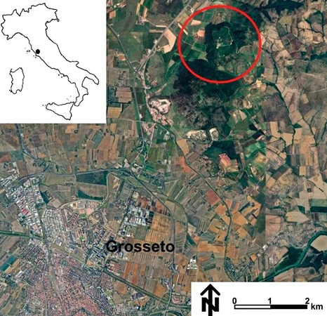
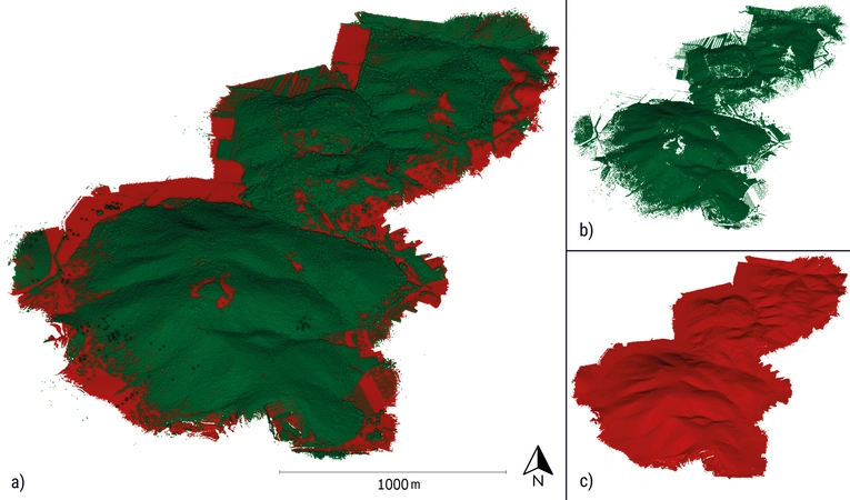
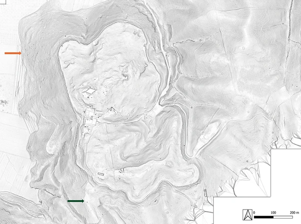
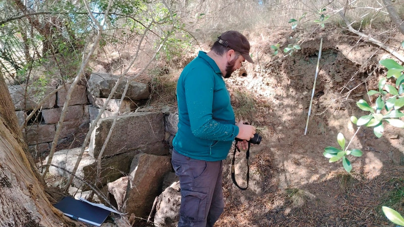
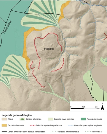
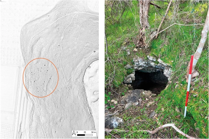
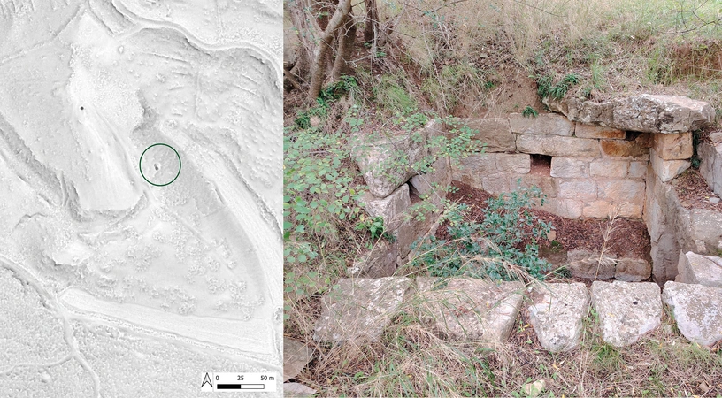
The application of high-resolution drone LiDAR reveals new potential to detect and interpret subtle archaeological features in Mediterranean forested landscapes, where dense vegetation and low-relief topography strongly limit traditional survey methods. This paper presents preliminary results from an integrated archaeological and geomorphological analysis of drone-derived LiDAR data over the urban landscape of Roselle and its environs (southern Tuscany). Using high-resolution digital terrain models (DTMs) and digital feature models (DFMs), supported by targeted ground verification and geomorphological mapping, we identified and mapped a previously unknown western necropolis comprising more than 50 round barrows, features that were entirely invisible in conventional aerial imagery. By contrast, a known southern necropolis shows markedly lower visibility in the LiDAR data despite comparable data quality and vegetation cover. Comparison of these two funerary areas demonstrates that funerary architecture, substrate lithology, and geomorphological processes interact to govern archaeological visibility. Round barrows cut directly into outcropping bedrock produce stable, long-lived microtopographic anomalies, whereas masonry tombs affected by colluvial processes tend to be progressively obscured and smoothed. These results underscore the necessity of integrating geomorphological analysis into LiDAR-based archaeological interpretation and highlight geomorphology as a key control on the long-term preservation and detectability of funerary landscapes in Mediterranean settings.
Figures
Preview
Subjects:
Remote Sensing Survey and excavations
Download (PDF)Publishers:
CNR - Istituto di Scienze del Patrimonio Culturale
Edizioni All'Insegna del Giglio
This website uses only technical cookies strictly necessary for its proper functioning. It doesn't perform any profiling and doesn't use third party cookies of any kind.
Read our privacy policy for additional information.
By clicking 'OK' or closing this banner you acknowledge having read this information and accept the website's contents.