
Volumes / Supplements / 15 / Scardozzi

Carta archeologica di un centro a continuità di vita: il caso di Lecce/Lupiae

Giuseppe Scardozzi

«Archeologia e Calcolatori» 2026, Supplemento 15, 131-152; doi: 10.19282/acs.15.2026.09

Abstract

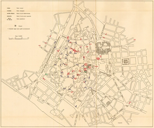
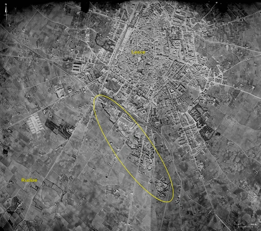
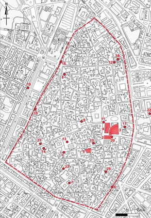
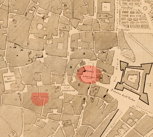
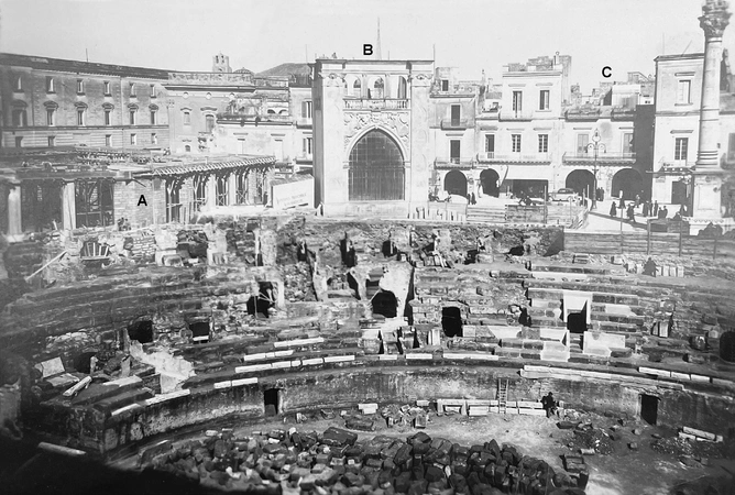
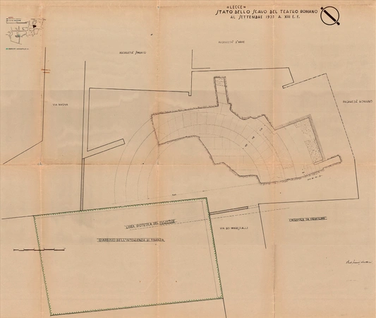
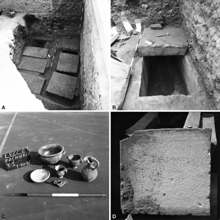
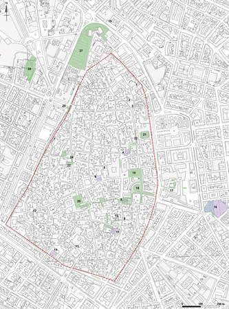
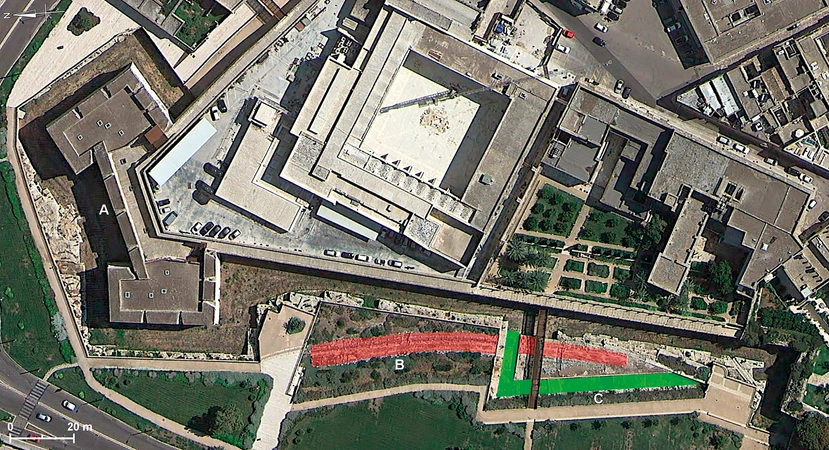
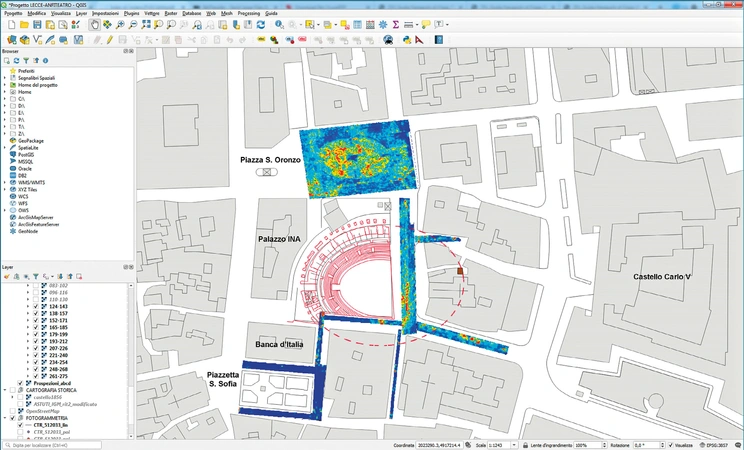
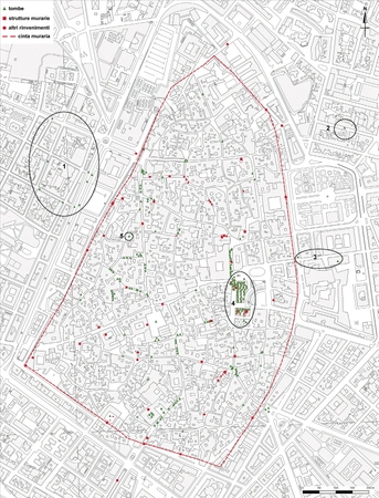
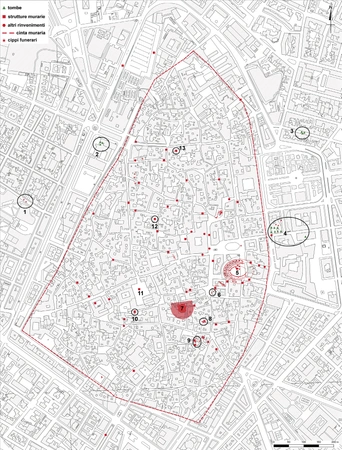
The paper is focused on the research activities carried out for the archaeological map of the Messapian, Roman and Medieval settlement which was located on the site where the historic centre of Lecce stands today. The research aims to produce a knowledge base useful for the reconstruction of the diachronic development of the settlement and to support protection interventions and conscious planning policies. The research methodology, the history of the excavations and findings, the characteristics of the archaeological map integrated into a GIS project and a summary of the historical development of the settlement between the Iron Age and the Late Antiquity period are illustrated.

Figures

Preview

Subjects:

GIS and cartography Survey and excavations

Download (PDF)

Publishers:

CNR - Istituto di Scienze del Patrimonio Culturale

Edizioni All'Insegna del Giglio