
Volumes / Supplements / 15 / Liverani

Il territorio di Castelporziano: sintesi storico-topografica

Paolo Liverani

«Archeologia e Calcolatori» 2026, Supplemento 15, 121-130; doi: 10.19282/acs.15.2026.08

Abstract

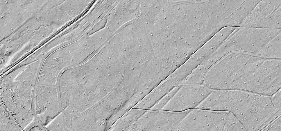
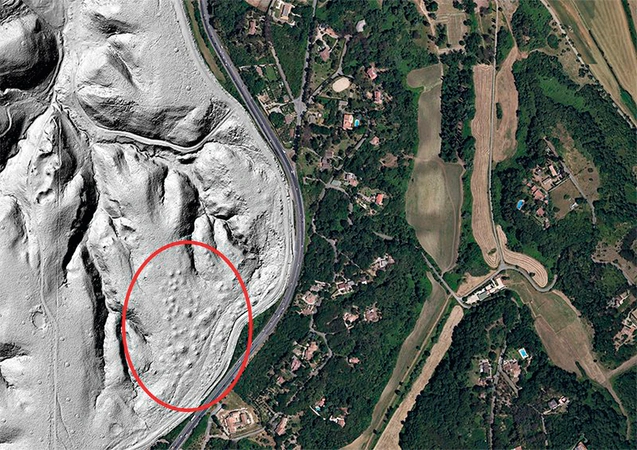
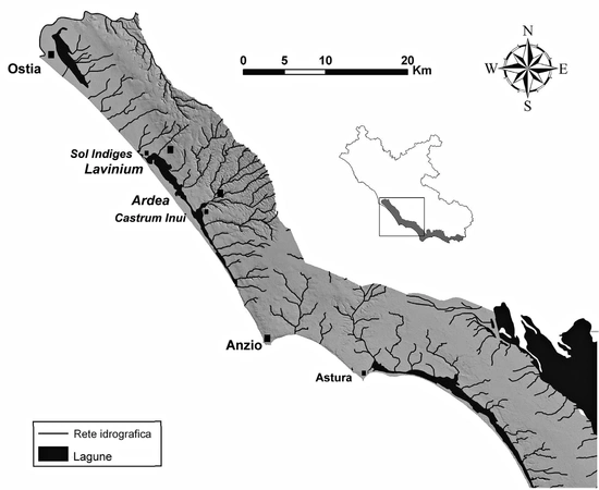
The paper offers a historical and topographical synthesis of the Castelporziano estate, highlighting its exceptional preservation as a coastal landscape protected from modern urbanization near Rome. It emphasizes the strong integration between environmental and archaeological research, showing how tools such as LiDAR contribute both to mapping ancient remains and to understanding vegetation and land use. The study reconstructs the long-term evolution of the area, from protohistoric occupation and lagoon-based economies to the development of a coastal route later formalized as the Via Severiana, along which numerous villas and settlements were established. Particular attention is given to the strategic control of the coastline in the Republican period and to the transformation of the territory in the Imperial age, including the emergence of the Vicus Augustanus and elite residential complexes. In Late Antiquity, imperial landholdings were redistributed to the Church, contributing to changes in settlement patterns and management structures, eventually forming the basis of early medieval domuscultae. Despite gaps in later evidence, the study outlines a continuous reorganization of the landscape. Overall, Castelporziano emerges as a key case study for understanding the interaction between environment, infrastructure, and settlement in the Roman coastal context.

Figures

Preview

Subjects:

History of applications and research projects Survey and excavations

Download (PDF)

Publishers:

CNR - Istituto di Scienze del Patrimonio Culturale

Edizioni All'Insegna del Giglio