Azzari, Liverani 2024, fig. 4
Related article: Azzari M., Liverani P. 2024, Landscape visualisation and modelling, in R. Brancato, J. Bogdani, V. Vitale (eds.), Linking Pasts and Sharing Knowledge. Mapping Archaeological Heritage, Legacy Data Integration and Web Technologies for Modelling Historical Landscapes (Naples, 13th-14th November 2023), «Archeologia e Calcolatori», 35.2, 277-284 (https://doi.org/10.19282/ac.35.2.2024.30)
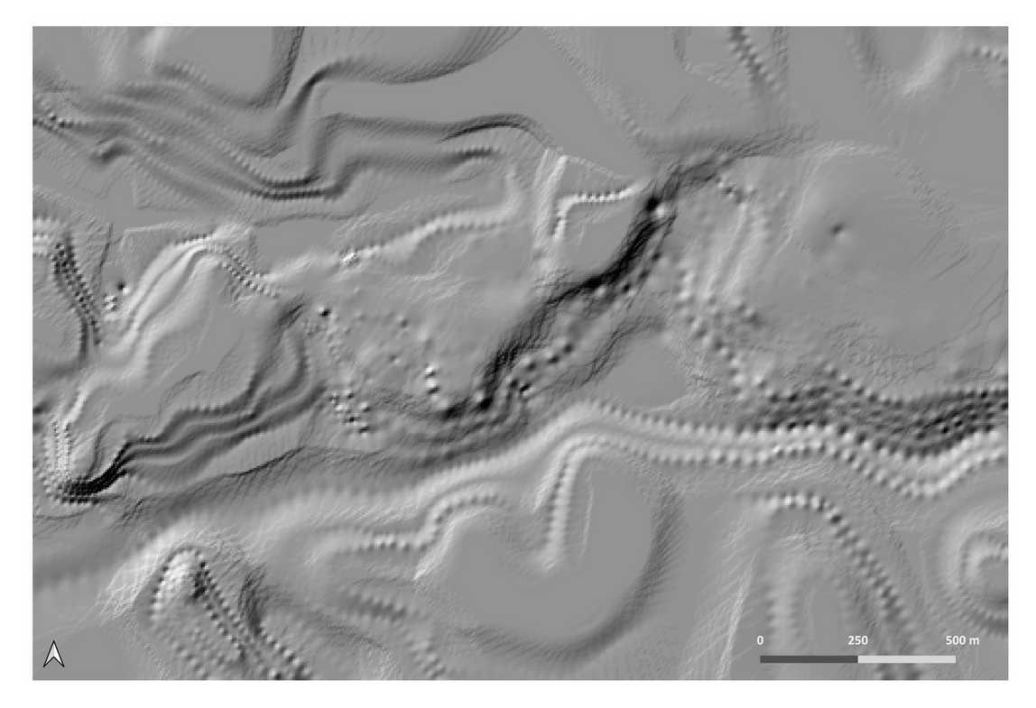
Caption
Digital Terrain Model of the study area during the Severan period. Reconstructive hypothesis based on data from literary and archival sources, historical cartographies, structural analysis and non-invasive surveys. The image shows the surface generated using the Inverse Distance Weighted (IDW) interpolation method, which allowed the z-values of the fiducial points to be preserved, before the final smoothing operation.
Image preview
This website uses only technical cookies strictly necessary for its proper functioning. It doesn't perform any profiling and doesn't use third party cookies of any kind.
Read our privacy policy for additional information.
By clicking 'OK' or closing this banner you acknowledge having read this information and accept the website's contents.