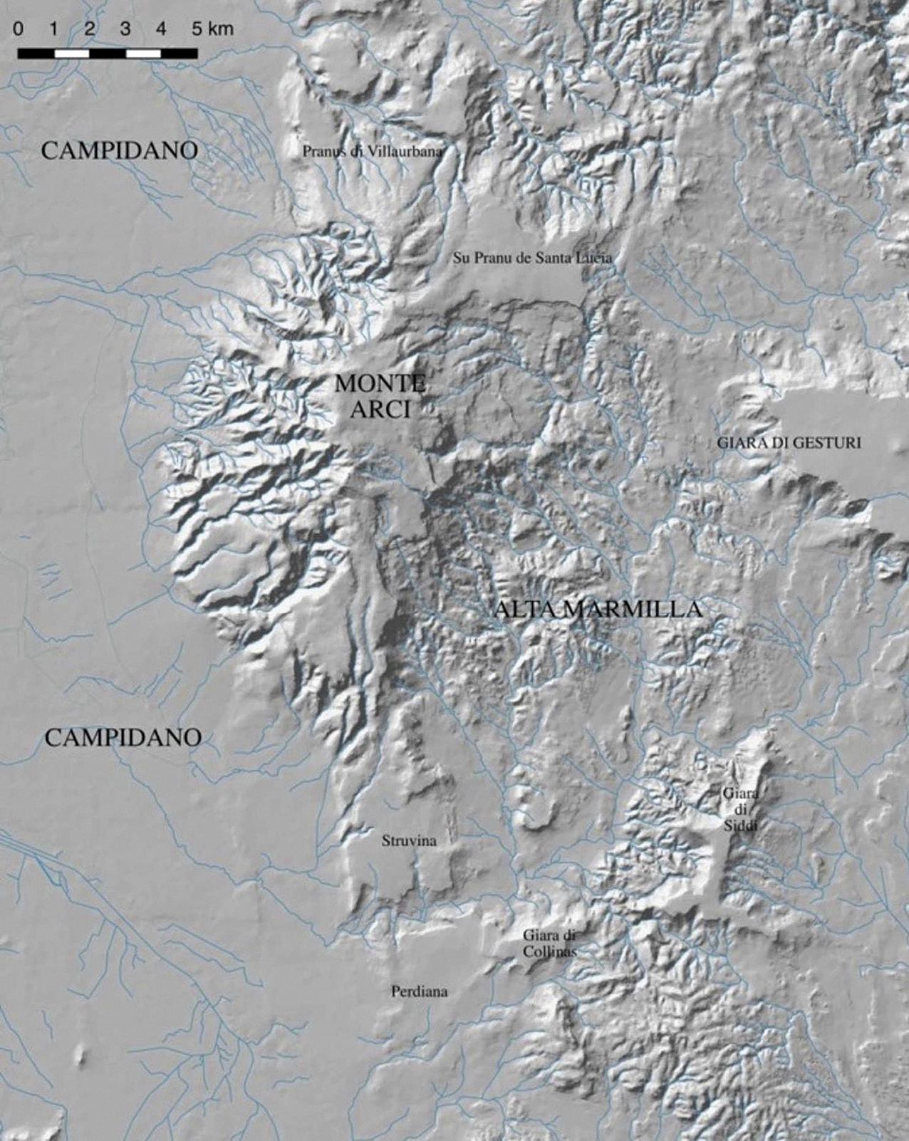
Modello 3D relativo all'areale di studio, rappresentato con visualizzazione hillshade
Related article: Cabras M., Concu C., Frongia P., Cicilloni R. 2023, Testare sul campo la Least Cost Path Analysis: rifessioni intorno ai paesaggi dell’età del Bronzo della Sardegna centro-meridionale (Italia), «Archeologia e Calcolatori», 34.1, 279-288 (https://doi.org/10.19282/ac.34.1.2023.30)
Description
L'immagine 1 mostra, mediante la visualizzazione hillshade, l'area di studio e le aree contermini. La maschera è ricavata dal DTM SAR a 10 m presente nel Geoportale della Regione Sardegna (Sardegnageoportale.it).
Interactive preview
Press "L" on the keyboard and move the mouse to change the direction of light.
Related figures
This website uses only technical cookies strictly necessary for its proper functioning. It doesn't perform any profiling and doesn't use third party cookies of any kind.
Read our privacy policy for additional information.
By clicking 'OK' or closing this banner you acknowledge having read this information and accept the website's contents.