Abballe M. 2025, Novel airborne LiDAR-derived digital terrain models in the Emilia-Romagna Region (Italy): potential for archaeological prospection of medieval castles in the Vena del Gesso Romagnola and Valmarecchia, «Archeologia e Calcolatori», 36.1, 129-152 (https://doi.org/10.19282/ac.36.1.2025.07)
Copy to clipboard Download: BibTeXNovel airborne LiDAR-derived digital terrain models in the Emilia-Romagna Region (Italy): potential for archaeological prospection of medieval castles in the Vena del Gesso Romagnola and Valmarecchia
«Archeologia e Calcolatori» 2025, 36.1, 129-152; doi: 10.19282/ac.36.1.2025.07
Abstract
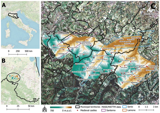
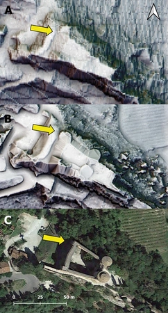
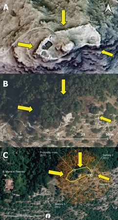
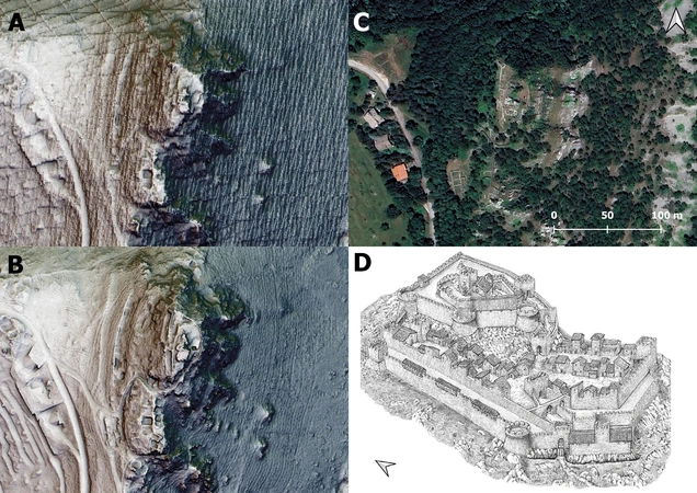
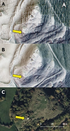
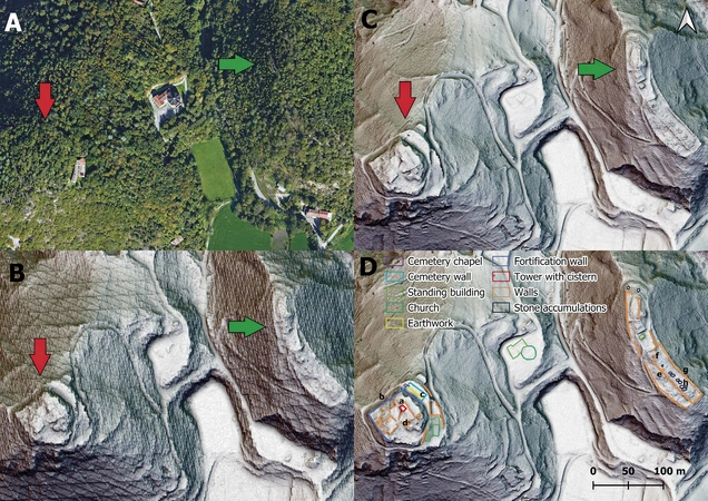
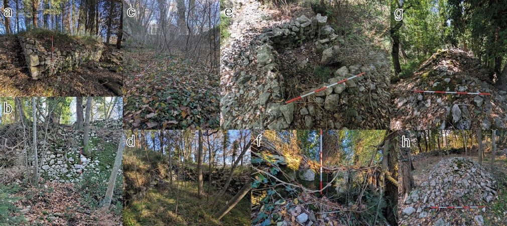
LiDAR technology has significantly advanced archaeological prospection, but its potential has been limited by the availability of data, as these are often collected through regional or state campaigns aimed at landscape and environmental mapping rather than archaeological research. Although LiDAR has been widely applied in Italy, partial coverage has left significant areas unexplored, including Emilia-Romagna (RER). Notably, RER launched a new LiDAR mapping campaign in 2022, starting with six test areas. Two of them, the Vena del Gesso Romagnola and Valmarecchia, were selected to assess the potential of the novel RER LiDAR-derived DTMs, which have 0.5m resolution and comprehensive coverage, compared to earlier national MASE/MATTM DTMs with lower 1m resolution and incomplete coverage. The analysis of RER DTMs revealed site layouts, standing remains, and partially buried features across seven medieval castles, including many structures previously unknown in national data and not recorded by earlier field surveys. Higher resolution and full coverage of RER DTMs proved to be especially valuable for hilltop sites, so it is hoped that RER will fund additional mapping campaigns to achieve complete regional coverage. Meanwhile, newly acquired datasets from 2023 and 2024 offer valuable opportunities to further advance archaeological research in the region.
Figures
Preview
Subjects:
Remote Sensing Survey and excavations
Download (PDF)Publishers:
CNR - Istituto di Scienze del Patrimonio Culturale
Edizioni All'Insegna del Giglio
This website uses only technical cookies strictly necessary for its proper functioning. It doesn't perform any profiling and doesn't use third party cookies of any kind.
Read our privacy policy for additional information.
By clicking 'OK' or closing this banner you acknowledge having read this information and accept the website's contents.

