Caratelli G., Giorgi C., Paraciani N. 2025, From archaeological survey to data accessibility: a WebGIS for the island of Capri, «Archeologia e Calcolatori», 36.1, 65-86 (https://doi.org/10.19282/ac.36.1.2025.04)
Copy to clipboard Download: BibTeXFrom archaeological survey to data accessibility: a WebGIS for the island of Capri
Giovanni Caratelli, Cecilia Giorgi, Nicolò Paraciani
«Archeologia e Calcolatori» 2025, 36.1, 65-86; doi: 10.19282/ac.36.1.2025.04
Abstract
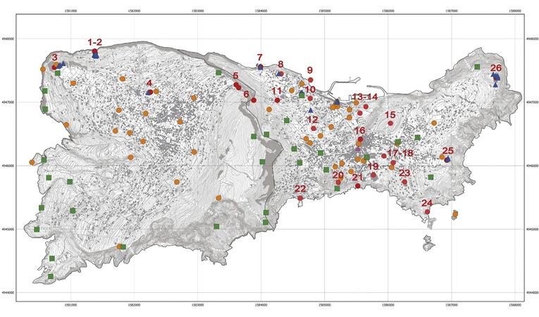
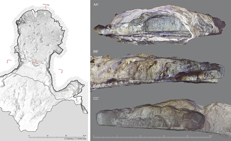
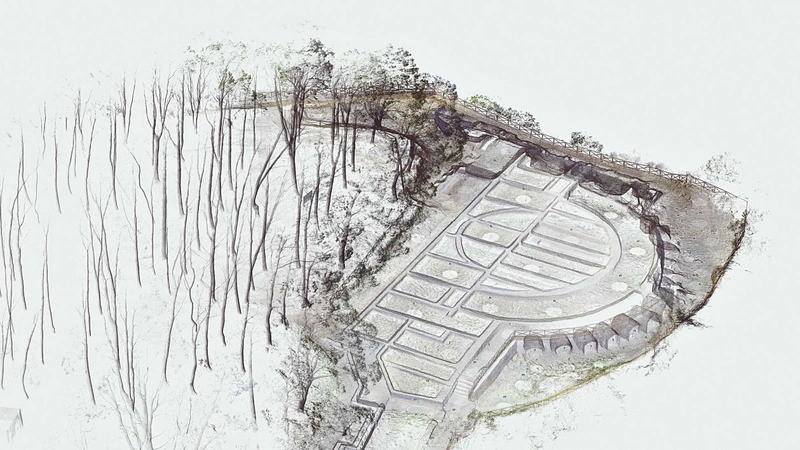
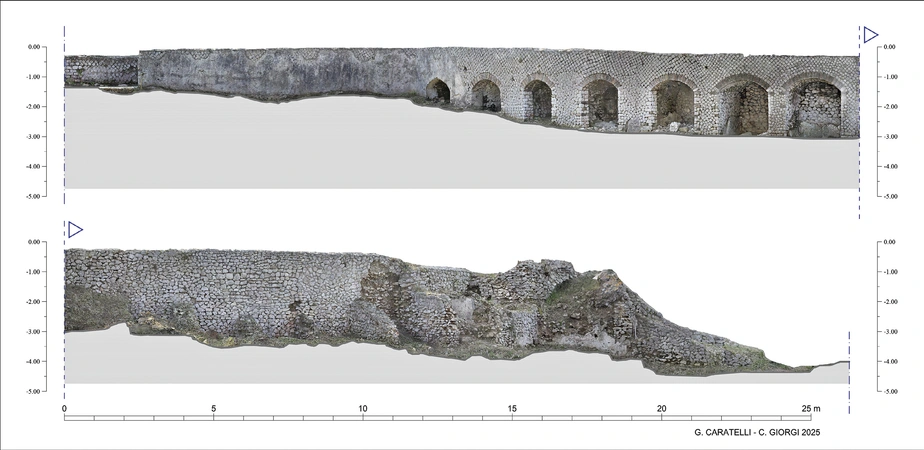
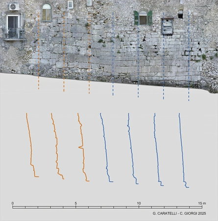
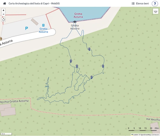
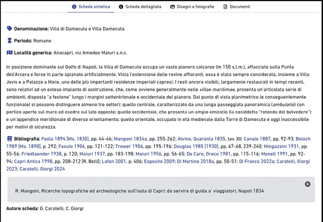
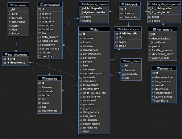
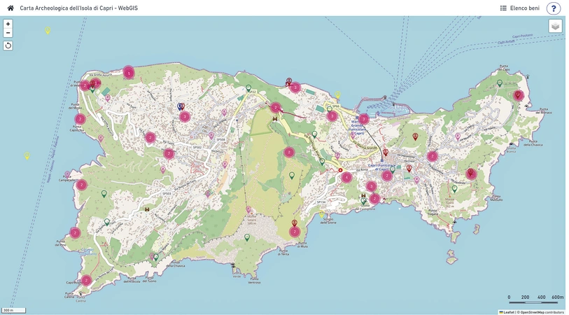
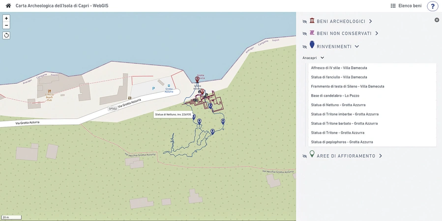
The project ‘Masgaba. An Archaeological Map for the Island of Capri’ was launched with the aim of updating and integrating Capri’s archaeological documentation, filling the existing gaps in the knowledge of its archaeological heritage using advanced technologies. The methodological approach included new surveys and analyses of sites that required updates in the graphical documentation or had previously been misinterpreted, the analysis of archival sources to recover information on no longer visible archaeological heritage, and the documentation of museum finds that helped improve the understanding of the island’s ancient history. A central element of the project is the creation of a WebGIS, which organizes the data into an interactive digital map, providing an overall view of the island’s archaeological heritage. The web application allows users to consult detailed records, multimedia content, archival documents, and publications produced within the project. The adoption of open-source technologies has ensured the sustainability of the system, paving the way for future extensions and the possibility of integrating new data.
Figures
Preview
Subjects:
GIS and cartography Survey and excavations
Download (PDF)Publishers:
CNR - Istituto di Scienze del Patrimonio Culturale
Edizioni All'Insegna del Giglio
This website uses only technical cookies strictly necessary for its proper functioning. It doesn't perform any profiling and doesn't use third party cookies of any kind.
Read our privacy policy for additional information.
By clicking 'OK' or closing this banner you acknowledge having read this information and accept the website's contents.

