Ebanista L. 2024, Use and processing of multispectral images in proximity remote sensing, in R. Brancato, J. Bogdani, V. Vitale (eds.), Linking Pasts and Sharing Knowledge. Mapping Archaeological Heritage, Legacy Data Integration and Web Technologies for Modelling Historical Landscapes (Naples, 13th-14th November 2023), «Archeologia e Calcolatori», 35.2, 401-410 (https://doi.org/10.19282/ac.35.2.2024.42)
Copy to clipboard Download: BibTeXUse and processing of multispectral images in proximity remote sensing
«Archeologia e Calcolatori» 2024, 35.2, 401-410; doi: 10.19282/ac.35.2.2024.42
Abstract
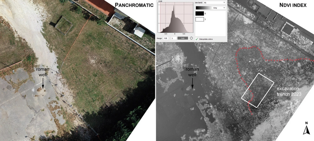
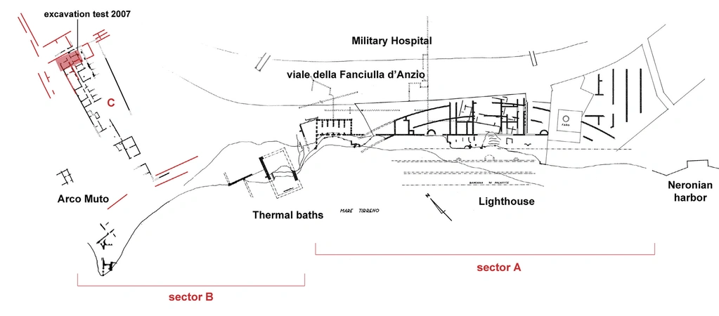
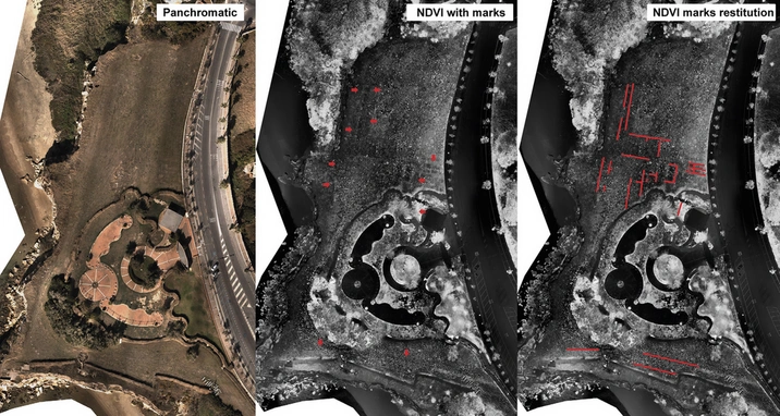
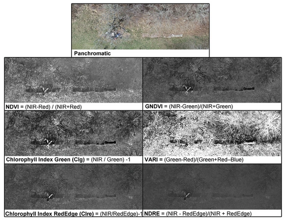
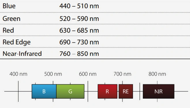
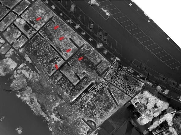
The contribution presents the results of a research that involves the use of data acquired by a multispectral camera transported by a UAV and their analysis and interpretation in the context of archaeological diagnostics. The experimentation expected the acquisition of multispectral images and the extraction of all the possible vegetation indexes on the basis of the spectral bands of the specific camera used (Sentera 6X). The tests, carried out in different contexts (Antium, Nersae), analyze the readability of the index data extracted from multispectral images in comparison with the marks visible in the panchromatic images, especially considering cases in which the marks are visible only in processed indices that interpolate the NIR band.
Figures
Preview
Subjects:
Remote Sensing Survey and excavations
Download (PDF)Publishers:
CNR - Istituto di Scienze del Patrimonio Culturale
Edizioni All'Insegna del Giglio
This website uses only technical cookies strictly necessary for its proper functioning. It doesn't perform any profiling and doesn't use third party cookies of any kind.
Read our privacy policy for additional information.
By clicking 'OK' or closing this banner you acknowledge having read this information and accept the website's contents.

